e-Yantra drone (quadcopter)
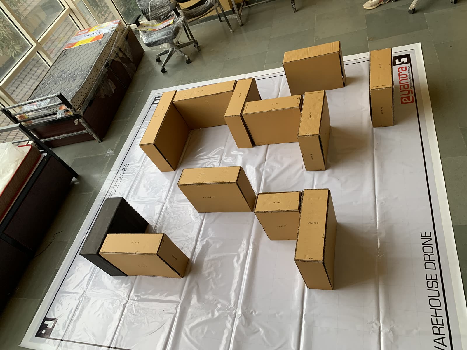
a drone flying itself around a simulated warehouse, reading ArUco markers to know where it is. we reached the national semifinals.
what it earnednational semifinals
oct 2024 – jan 2025 · team · IIT Bombay e-Yantra · retired
e-Yantra is IIT Bombay’s national robotics competition. Our task: a drone that flies through a warehouse on its own — find ArUco markers, figure out where you are from them, plan a path, pick and place packages, all against the clock.
My side of it: PID loops for stable hover and precise movement, and the computer vision that detects and decodes the markers. A badly tuned axis on a drone isn’t a bug report, it’s a crash — you learn to tune carefully.
We made it to the semifinals. And I came away distrusting camera-only localization — markers hide, light changes. A year later that itch turned into the UWB work on the forklift.
made with
- ROS2
- Python
- OpenCV
- ArUco
- PID
- path planning